The resort database
Our derived resort database is available under the Open Database License 1.0. Download the complete database, including field source notes.
Area totals and village details
Terrain, altitude and lift totals describe the mapped ski area. Several villages may share those values. Kilometres and difficulty shares cover mapped, classified downhill runs; unclassified and freeride lengths are excluded. These figures can differ from an operator’s advertised totals.
Family features come from original factual curation with a source note for every field. “Available” may mean a particular provider, hotel or age range. Pricing tiers and holiday suitability are editorial planning judgements. There are no live snow or availability feeds.
Sources: OpenSkiData, OpenStreetMap licence, Skimap.org, Who’s On First and Mapterhorn.
Photo credits
The photos are used under the licences below. We resized, cropped and compressed them for the web.
- Gerlitzen Alpe by Region-Villach, CC BY-SA 2.0
- Familientag auf der Gerlitzen by Region-Villach, CC BY-SA 2.0
- Salzburgerland (11851758064) by EHRENBERG Kommunikation, CC BY-SA 2.0
- Einkehren auf der Watschiger Alm am Nassfeld by Nassfeld, CC BY-SA 2.0
- Kaiserschmarrn at Tallner Alm Kaser Meran by Marie-Lan Taÿ Pamart, CC BY 4.0
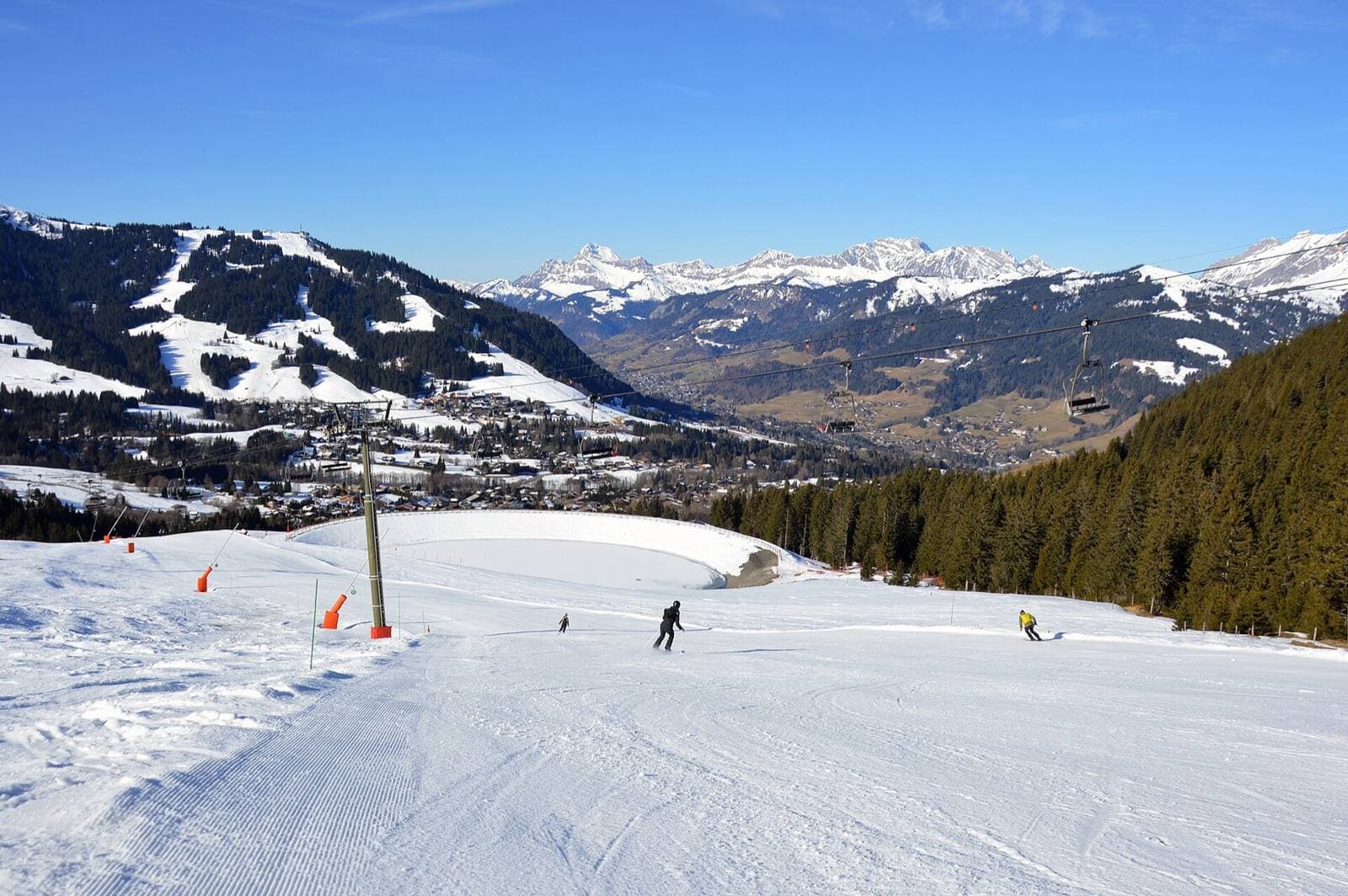
- Looking down the Mandarines slope, Megève, 2025 by DimiTalen, CC0
- Ascending TSD Fourclaz Express, La Thuile, 2024 by DimiTalen, CC0
- Crans montana (49293263802) by Paolo Gamba, CC BY 2.0
- Arc 1800 les Villards, 2017 by DimiTalen, CC0
- View from top of Arinsal Andorra 2011 by Terence wiki, CC BY-SA 3.0
- Funicular from Ellmau by James Preston, CC BY 2.0
- Kirche vom Berg Hopfgarten im Brixental by Moritz Werthschulte, CC BY-SA 3.0
- Kohlmaisbahn Saalbach-Hinterglemm by User:F30, CC BY-SA 2.5
- Alpbach im Winter by Patrick Summerer, CC BY-SA 3.0
- View of Alpe d'Huez from Marcel's Farm, Huez, 2026 by DimiTalen, CC0
- Andalo ski - Passo S. Antonio - panoramio by Zoran Kurelić Rabko, CC BY-SA 3.0
- Arc 1950 and Arc 2000 from Bois de l'Ours piste (top) by DimiTalen, CC0
- Arc 2000 from Chalets de l'Arc by DimiTalen, CC0
- Black Diamond Slope Arosa 15. März 2020 by Andres Passwirth, CC BY-SA 4.0
- Avoriaz - panoramio (1) by Patrick Nouhailler, CC BY-SA 3.0
- Belle Plagne seen from Colosses by DimiTalen, CC0
- Piz Ciampac Piz Ciampai Sassongher Corvara Südtirol by Wolfgang Moroder, CC BY-SA 3.0
- Courchevel 1850 et front de neige avant Noël (décembre 2019) by Florian Pépellin, CC BY-SA 4.0
- Dent du Villard, Courchevel by DimiTalen, CC0
- Schönjöchl by HesedOla, CC BY 4.0
- Flachau 5 by Vitold Muratov, CC BY-SA 3.0
- Winter vom Chesa by Caumasee, CC BY-SA 4.0
- Hochzeiger by Dr.Haus, CC BY-SA 3.0
- Down (Unsplash) by Daniel Frank, CC0
- Col de la Traversette with Mont Valezan, La Rosière, 2024 by DimiTalen, CC0
- Laax Winter by Adrian Michael, CC BY-SA 3.0
- Austria in Snow2 by HesedOla, CC BY 4.0
- Lech am Arlberg 2006 by Florian Lindner, CC BY 2.5
- Lenzerheide Ski Slope by Maciupiciu68, CC BY-SA 4.0
- Panoramalesgets by Annom, Public domain
- Grand Reberty and Les Bruyères from the Paturages slope at 2090 m, Les Menuires by DimiTalen, CC0
- Méribel-Centre by CM Méribel, CC BY-SA 4.0
- 2017.01.23.-19-Paradiski-La Plagne-Piste montchavin--Montchavin by Andreas Eichler, CC BY-SA 4.0
- Neuschnee Nauders by Nauderer Bergbahnen, CC BY-SA 4.0
- Obergurgl by Suppengrün, Public domain
- Übungslift Oberlech Talstation by Ursman83, CC BY-SA 4.0
- Obertauern ski slopes by Pear Blossom, CC BY-SA 3.0
- Hochoetz Kuehtailelift by Eiswind, CC BY 3.0
- Groomed skirun from Seceda Val Gardena by Wolfgang Moroder, CC BY-SA 3.0
- Tonale Pass Winter View by Snowdog, CC BY-SA 4.0
- 2017.01.22.-08-Paradiski-La Plagne-Plagne Aime 2000--Plagne Centre by Andreas Eichler, CC BY-SA 4.0
- La-Plagne-Montalbert OTGP by Audrey OT, CC BY-SA 4.0
- Saas-Fee Dorf Winter by Saas-Fee/Saastal Tourismus, CC BY-SA 3.0
- Piste 70 Scheffau SkiWelt Wilder Kaiser-Brixental 2026 by Mike is Michi, CC BY-SA 4.0
- Seefeld Tirol panoramic panorama by Chianti, CC BY-SA 3.0
- Komperdell 1 by Root5.5, CC BY-SA 3.0
- Seiseralm Langkofelgruppe und Roßzähne im Winter by Wolfgang Moroder, CC BY-SA 3.0
- Freeriderin mit Blick nach St. Christoph am Arlberg by Gemeinde St. Anton am Arlberg, CC BY-SA 4.0
- 2017-01 Tignes 04 by Antoine Lamielle, CC BY-SA 4.0
- Téléphérique de Tignes (5790106846) by Jerome Bon, CC BY 2.0
- Val d'Isere vue aerienne by Mmaconta, CC BY-SA 4.0
- Val Thorens, vue d'ouest (2016) by Florian Pépellin, CC BY-SA 3.0
- Valbella cross-country skiing trail by Markus Bernet, CC BY-SA 4.0
- Skigebiet-zauchensee-winter by Trendi1900, CC BY-SA 4.0
- Zeller See Zell am See Steinernes Meer by Wald1siedel, CC BY-SA 3.0
- GGB Bhe 4-8 Streckenführung Rotenboden - Gornergrat by David Gubler, CC BY-SA 3.0
- Zuers am Arlberg by Florian Lindner, CC BY 2.5


